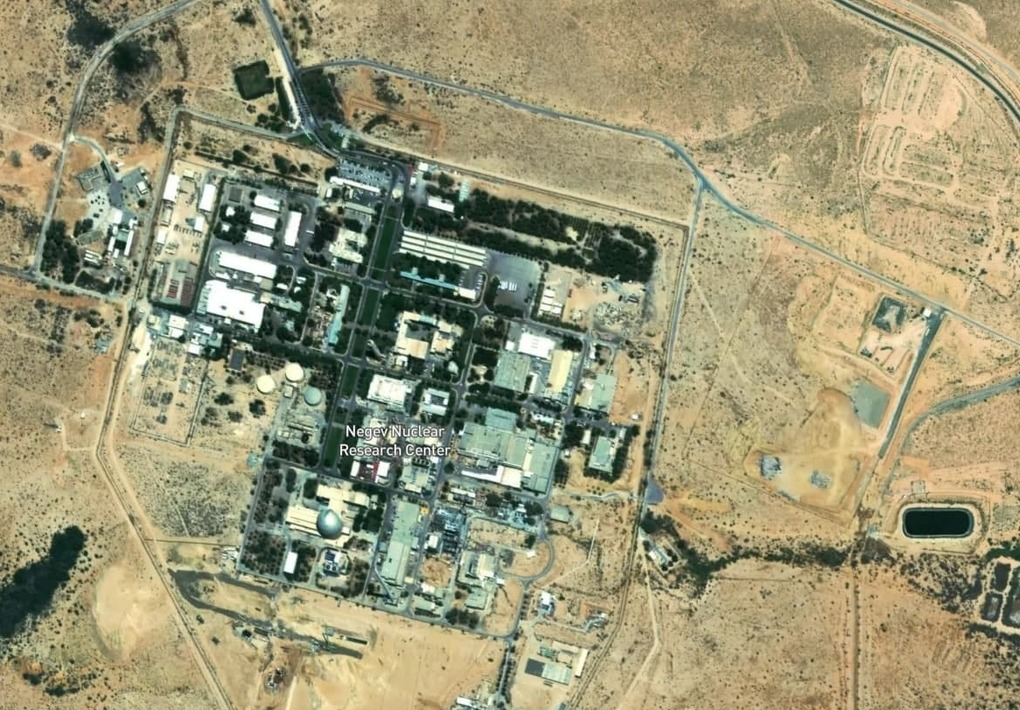
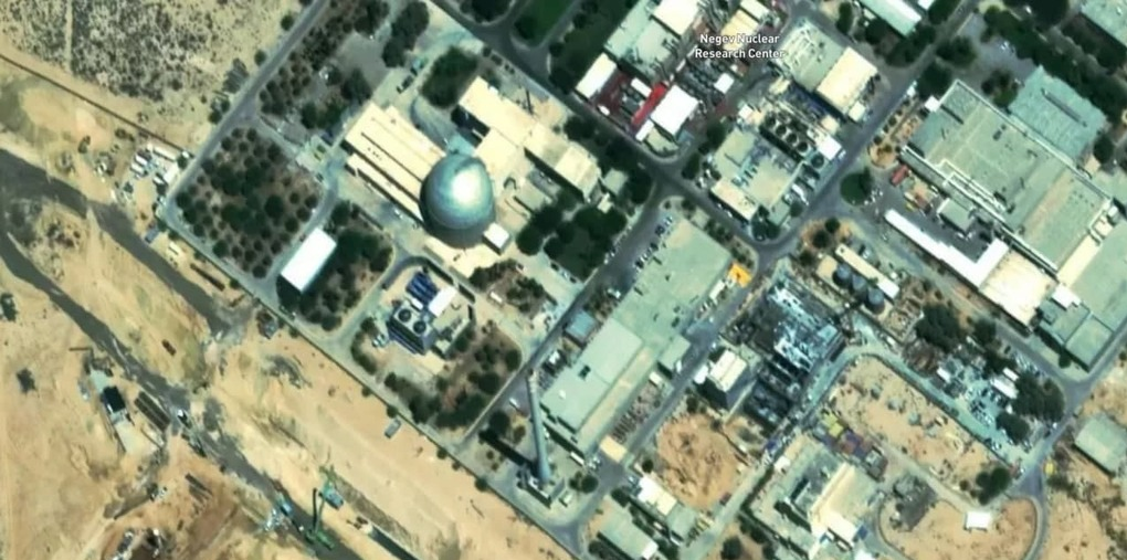
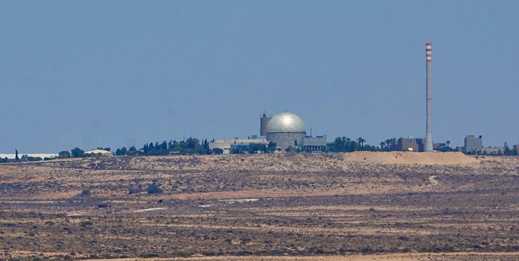
Release of the first high-resolution satellite images of the Zionist regime’s nuclear power plant.
Following the recent announcement by an American company of the lifting of the law banning the publication of images of sensitive centers in the occupied territories, Hebrew sources released the first images of the Zionist regime’s nuclear power plant, saying that Tel Aviv was concerned about Hezbollah’s use of these images.

Hebrew-language sources published today (Friday) for the first time images of the “Dimona” of the Zionist regime’s nuclear power plant in the southeast of the occupied Palestinian territories, as well as several military bases of the regime.
Today, the Zionist newspaper Yedioth Ahronoth, using a new service of an American company, published seven high-resolution images of the Dimona nuclear power plant and several Israeli military and air bases from different angles.
Although the Zionist regime has been trying for years to pressure satellite companies to prevent the release of photos from many parts of occupied Palestine, an American company announced yesterday that it was providing high-resolution images of this geographical area.
Earlier, a legal amendment called the Kyle-Bingmann barred US companies from providing images with a resolution of more than 2 meters per pixel in the area; But the law was changed in 2020 and a new limit of 40 cm was set.
In an interview with Yedioth Ahronoth, Amnoun Harari, the head of the Israeli Ministry of War’s space program, said that he did not think that prior consultations had been held with Israel regarding the implementation of the US federal decree. This has led to the identification of Israeli nuclear bases and facilities with high accuracy and clarity.
The Zionist newspaper further added that Tel Aviv is very concerned that groups such as Hezbollah and Hamas will use these images to attack these positions.

“We have now quadrupled the details [of Israel] and Palestine,” the company said in a statement. “This new imaging provides our customers with the highest resolution images available for hiking planning, check-in, or city-wide navigation.”
“Improved sharpness [images of occupied Palestine] provides more detail for buildings, roads and natural conditions,” the US company said yesterday. New Nature [Maps] offers a newer current look using images collected in the summer of 2021. “Combining these images with the ground provides a unique three-dimensional landscape with great detail.”
Mapbox, an American company providing online custom maps for a variety of websites and applications, has rapidly expanded its position on custom maps since 2010 in response to limited options offered by satellite imaging companies such as Google Maps.


